Top 10 Things to Know About the Metro Expo Line to Santa Monica

Metro has announced that the long awaited Expo Line extension from Culver City to Santa Monica is officially opening on May 20, 2016. To coincide with the announcement, the Metro blog, The Source posted a list of things to know about the 6.6-mile extension. Read on for ten of the best things about Expo Line Phase 2.
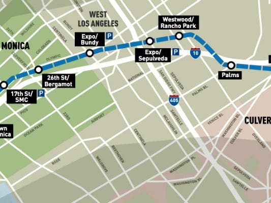
1. This is the first rail transit to the far Westside since streetcars halted service in 1953.
2. The Expo Line will offer a convenient alternative to the highly trafficked Santa Monica Freeway. The trip between the 7th/Metro Center Station in Downtown L.A. and the Downtown Santa Monica Station is expected to take 46 minutes.
3. The current Expo Line runs 8.5 miles between 7th/Metro Center and Culver City. The 6.6-mile extension adds seven stations:
- Palms - aerial station at the intersection of Palms Boulevard and National Avenue.
- Westwood/Rancho Park - street-level station on Westwood Boulevard, .3 miles south of Pico Boulevard and the Westside Pavilion. This is the best transfer point for buses headed up Westwood Blvd. to Westwood Village and UCLA.
- Expo/Sepulveda - aerial station on Sepulveda Boulevard, just south of Pico Boulevard. A number of offices, retailers and neighborhoods are nearby, including Sawtelle Japantown.
- Expo/Bundy - aerial station on Bundy just south of Olympic Boulevard. A variety of offices and retailers are nearby. The station is also about one- to 1.5 miles to the Santa Monica Airport and the neighboring business parks along Ocean Park Boulevard.
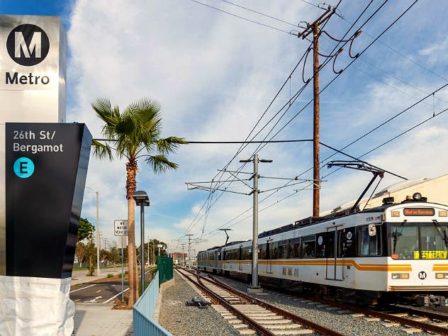
- 26th/Bergamot - street level station adjacent to the Bergamot Station arts complex in Santa Monica and across Olympic Boulevard from the Water Garden office complex. Many other offices are nearby.
- 17th Street/SMC - street level station at Colorado and 17th Street that is a .6-mile walk or bike ride to Santa Monica College.
- Downtown Santa Monica - street level station at Colorado and 4th that is steps away from the Santa Monica Pier, the beach, Santa Monica Place, Third Street Promenade, Palisades Park, Tongva Park and the Santa Monica Civic Center.
4. Trains will run every 12 minutes at most times of the day with service beginning about 4 a.m. on weekdays and ending around midnight. On Friday and Saturday nights, Metro Rail runs until 2 a.m.
5. There will be parking available at three stations: Expo/Sepulveda (260 spaces), Expo/Bundy (250 spaces) and 17th Street/Santa Monica College (70 spaces).
6. A regular adult fare on Metro is $1.75 and includes two hours of free transfers. That means you will be able to travel between Santa Monica and destinations such as Downtown L.A., Long Beach, Pasadena and Hollywood for $1.75. For more info on discounts for seniors, students, the disabled and Medicare recipients, visit this page.
7. There is a paved bike path along much of the Expo Line’s second phase — between Culver City and Palms and then between Overland Avenue and Colorado/17th Street in Santa Monica. The city of Los Angeles is working on finding the best route between Palms and Overland Avenue, where the train travels in a narrow trench. There is a bike lane on Exposition Boulevard on the first phase of the Expo Line west of Vermont Avenue. There is a paved bike path between La Cienega/Jefferson Station and Culver City Station. For detailed info, view the Metro bike map.
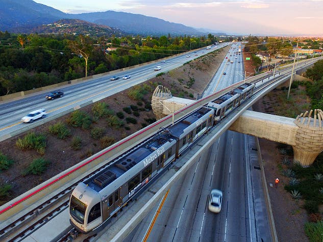
8. Metro Rail will grow to 105 miles of routes with the addition of Expo 2 and the Gold Line to Azusa. Santa Monica will become the 17th city in Los Angeles County to have a Metro Rail station. Including the Gold Line extension to Azusa that opens March 5, the others are Arcadia, Azusa, Compton, Downey, Duarte, El Segundo, Hawthorne, Inglewood, Long Beach, Los Angeles, Lynwood, Monrovia, Norwalk, Redondo Beach, South Pasadena and Pasadena.
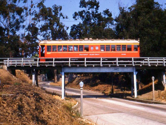
9. The Expo Line largely follows the old Exposition railroad right-of-way that was used by Pacific Electric streetcars and freight trains. The right-of-way was purchased from Southern Pacific in the early 1990s to preserve the corridor for possible future use as a rail line.
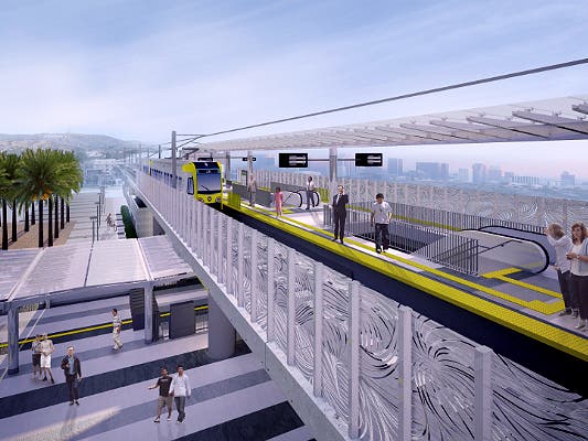
10. Metro is working on other rail projects that will offer easy transfers to the Expo Line:
The Crenshaw/LAX Line, scheduled for completion in 2019, will offer a rail connection at Expo/Crenshaw to destinations south, including the Crenshaw business district, Leimert Park, Inglewood, LAX and the Green Line.
The Regional Connector project will tie together the Blue, Expo and Gold Lines in Downtown Los Angeles via a 1.9-mile underground tunnel. The Connector will allow Expo Line trains to run all the way to East L.A. while another set of trains runs between Azusa and Long Beach. Transfers between the Santa Monica-East L.A. and Azusa-Long Beach lines will be done at any of five light rail stations in Downtown L.A. — Pico, 7th/Metro, 2nd/Hope, 2nd/Broadway or Little Tokyo/Arts District.
